
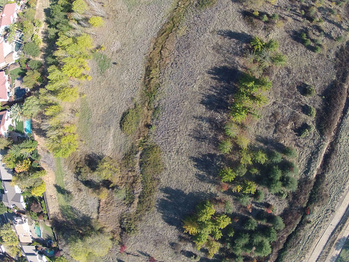
 Jason Pittman (Geosciences Professor and co-conspirator) and I had the chance to fly the quad over the wetlands today, and had a couple of really good flights. The image above is one of the better ones – note the game trails and vegetation patterns. The next step will be to georeference this and other photos, using known reference points – roads, property lines, that little drain (below, lower left).
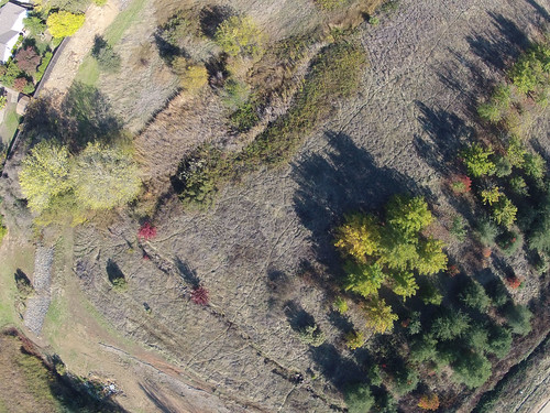
Pingback: Georeferencing, Fisheye Correction and Aerial Targets | DoLookDown.org
Pingback: NIR KAP! | DoLookDown.org
Pingback: iPhone Kite Aerial Photography | DoLookDown.org