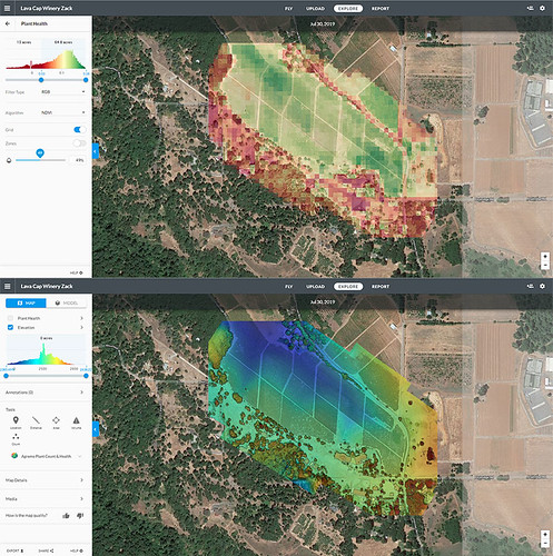
Jason Pittman (Geosciences), Max Mahoney (Chemistry) and I took the new quadcopter out to Lava Cap Winery to do a test flight.
Dronedeploy (the system we use for flight planning and analysis) offers some interesting post-flight map creation and analysis. Here are the Plant Health and Elevation views.
We were stoked to see the Model view for the first time.

We’re still figuring out what it all means, but we’re excited about the preliminary results!


